
Contamination risk and due diligence
On 18 July 2023, Lotsearch presented at InfoTrack’s Webinar on Understanding the hazards: contaminated land – changing legislation & due diligence. It was a great session that explored some of the key issues in contamination risk…

Preparing for New Environmental Legislation
Following a public enquiry into the Victorian Environment Protection Authority (EPA) in 2016, the Victorian Government has embarked on a significant program of change. Central to this change, are sweeping new laws designed to hold polluters…
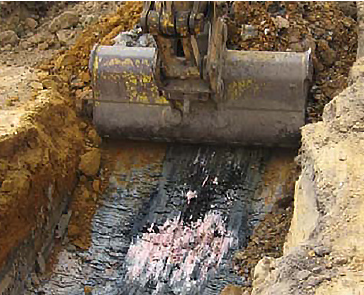
5 questions about land contamination
1. Where can contamination be present? Contamination doesn’t just leak into the ground and stay in one place in the soil. That’s why it’s critical to not only know exactly what potentially contaminative activities have…


